Land & Development
Diagnostic
Know exactly what you can build before you buy. Before committing to heavy capital or open-ended architectural fees, our fixed-fee land diagnostics evaluate the physical, environmental, and statutory constraints of your plot. We give you the commercial confidence to bid, renegotiate, or walk away.
Test physical capacity before you commit to costly surveys or planning applications.
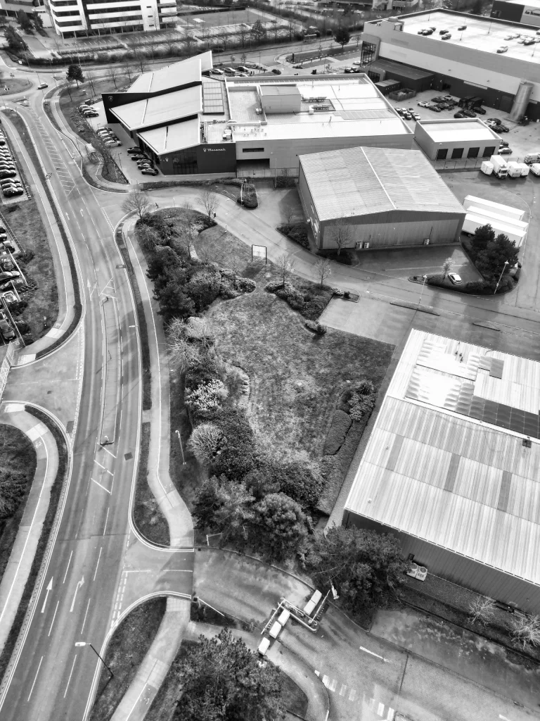
Don’t spend thousands on topographical surveys, ecological reports, or full architectural proposals only to discover that hidden constraints cripple your unit numbers. Our RIBA Stage 0/1 diagnostics combine GIS mapping, 3D spatial modelling, and build-cost benchmarking to prove what actually fits on your land, unlocking hidden potential on awkward brownfield plots, heritage settings, and sensitive edge-of-settlement sites.
Best for: Initial site prospecting, landowners, and pre-offer sense checks:
A fast, visual health check to spot immediate planning red flags before you spend a penny on surveys.
- Deliverable: A 2D Red/Amber/Green (RAG) constraint map and a 3-minute recorded video walkthrough explaining the site’s primary opportunities and risks.
- Constraint Mapping: Automated GIS screening across flood risk, ecology, heritage assets, tree protections, and highway access.
- Buildable Area Check: Establishes the initial Net Developable Area and an indicative capacity range based on local density patterns.
Best for: Early project scoping, developer appraisals, and B2B architectural support.
Moves beyond high-level flags into measured 2D geometry, testing how statutory offsets and infrastructure requirements affect usable floor area.
- Deliverable: Scaled 2D footprint overlays and a clean spatial-economic dataset ready for your development appraisal or RIBA Stage 1 brief.
- Measured 2D Yield: CAD-verified site boundaries with deductions for privacy separation distances, visibility splays, surface drainage zones, and habitat buffers.
- Cost & Revenue Benchmarking: Pairs achievable Gross Internal Area (GIA) against regional BCIS build-cost bands, statutory tariff allowances, and local £/sqm comparable values.
Best for: Small-scale residential infill, rural estates, and minor schemes (typically 1–9 homes). Proves physical capacity in three dimensions—resolving neighbour daylight limits, sloping topography, and environmental space requirements inside a client-ready feasibility report.
- Deliverable: A comprehensive visual feasibility report (PDF) plus a personalised video walkthrough.
- 3D Daylight & Context Envelope: Extrudes neighbouring properties and casts 3D daylight and overshadowing planes to define the maximum lawful building volume.
- Parametric Massing & Earthworks: Tests solar-oriented building blocks within the 3D envelope, balancing cut-and-fill ground levels and on-site green/drainage space.
- Viability Sensitivity & Plan B: Includes a 3×3 cost-versus-revenue sensitivity matrix and an alternative sustainable land-use strategy if conventional development proves marginal.
Best for: Multi-unit residential (10+ homes), mixed-use sites, and complex planning promotions.
An in-depth spatial and environmental feasibility study engineered for larger sites facing complex infrastructure, multi-tenure, or ecological demands.
- Masterplan & Tenure Modelling: 3D spatial testing across multiple building typologies, adoptable road hierarchies, and affordable/market tenure splits.
- Environmental & Microclimate Testing: Assesses solar gain, overshadowing on public realm, wind corridors, overland water routing, and strategic habitat networks.
- Multi-Scenario Benchmarking: Compares spatial yield, abnormal infrastructure allowances, and phased cost-to-revenue sensitivities across two alternative masterplan layouts.
- Deliverable: An executive-grade 3D feasibility report (PDF), recorded presentation, and a strategic debrief call.
Enter your project details to start the conversation. We will get back to you as soon as we can. Please provide as much site context as you currently have, including site boundaries, planning histories, or auction listings.